ArcGIS Favorite Stories of 2021 Features “Resilient Connections” CWC StoryMap
- Jan 10, 2022
- 1 min read
The “Resilient Connections” StoryMap highlighting our Connecting Wildlands and Communities project was featured by ESRI and ArcGIS as one of their favorite community stories of 2021. Check it out on today’s blog!

The “Resilient Connections” StoryMap highlighting our Connecting Wildlands and Communities (CWC) project was featured by ESRI and ArcGIS as one of their favorite community stories of 2021.
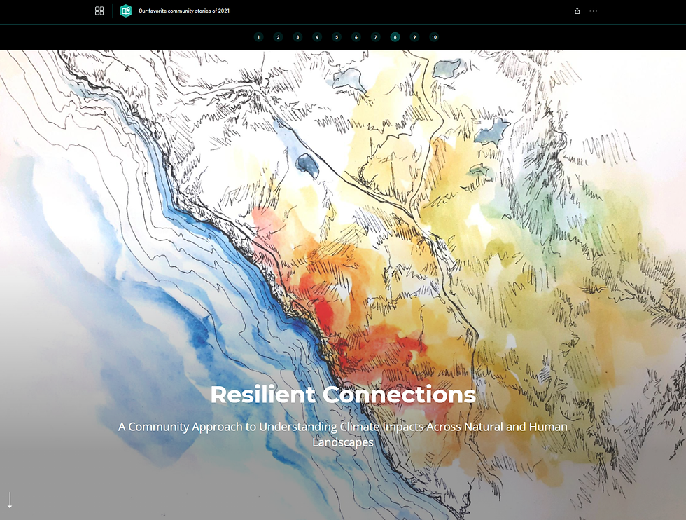
The CWC project team partnered with one of Climate Science Alliance’s Affiliated Artists and long-time collaborators, Audrey Carver, to create a StoryMap to depict the project’s climate data and partner’s stories – with perspectives from Marti Witter (Fire Ecologist, National Park Service), Teri Biancardi (Community Member, Santa Margarita Sierra Club), Bob Leiter (Environmental Planner), Dan Silver (Executive Director, Endangered Habitats League), as well as several members of the Climate Science Alliance and CWC teams.
Out of 473,140 published ArcGIS StoryMaps made by storytellers from over 30 countries across the globe, ours was one of several chosen by the ESRI and ArcGIS team for their “Our stories of 2021” collection.
“See how data visualization and art connect in Resilient Connections, authored by the Climate Science Alliance. The story flawlessly blends data from fire history maps with hand-drawn cartographic paintings to create a stunning, impactful call to action for interdisciplinary ways to tackle climate issues.”
Read the full article here.
Thanks to the ESRI team for featuring the CWC project – it’s an honor to be included alongside such amazing work around the world.
Connecting Wildlands and Communities is supported by California Strategic Growth Council’s Climate Change Research Program with funds from California Climate Investments – Cap-and-Trade Dollars at Work.


